Real Places, in Minecraft
Voxel Earth is your ticket to a fully voxelized globe inside
Minecraft! Our pipeline takes Google Photorealistic 3D Tiles (and other data sources)
and seamlessly transforms them into blocks. From the bustling streets of Tokyo to
the deserts of Arizona, explore it all in Minecraft at play.voxelearth.org.
Key Features
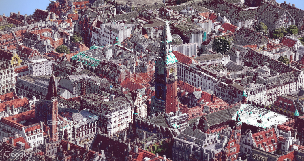
Dive into stunning recreations of real-world landmarks, generated automatically by advanced voxelization. Explore cities, terrain, and even extraterrestrial data sets.
Global 3D Tiles
We integrate with multiple public (and private) 3D Tiles data sources, including Google Earth and other open datasets. Roam entire cities or natural wonders without leaving your Minecraft client.
GPU-Powered
Our pipeline uses GPU-based voxelization for fast, on-demand chunk generation. Large photogrammetry data is handled quickly, ensuring minimal waiting time and high detail where it counts.
.BQuYQpIH_ZgHfTd.jpg)
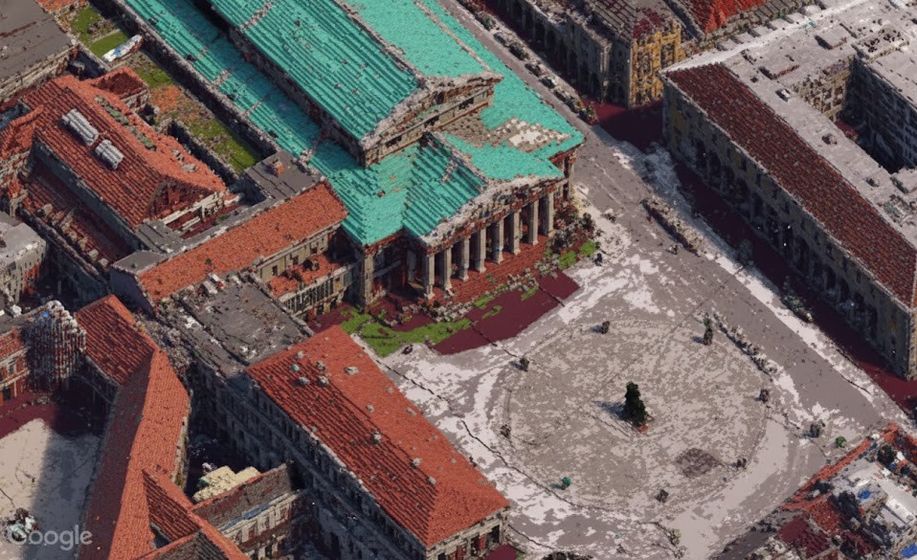
Rich Textures
Each photogrammetry texture is transferred into Minecraft block coloration, giving you an immersive experience. Buildings, water, foliage—everything is mapped into the Minecraft palette.
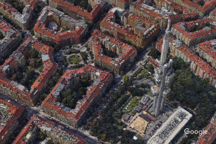
Global 3D Tiles in Action
Wondering how your city looks when turned into voxels? We load the highest resolution 3D Tiles available, convert them to blocks, and stream them into Minecraft just like normal chunks. It's a seamless experience—just walk around, and the real-world data loads.
We rely on a combination of open-source libraries and custom GPU code to handle the complexity of photorealistic data. This ensures a stable, visually appealing environment that captures the spirit of each real-world site.
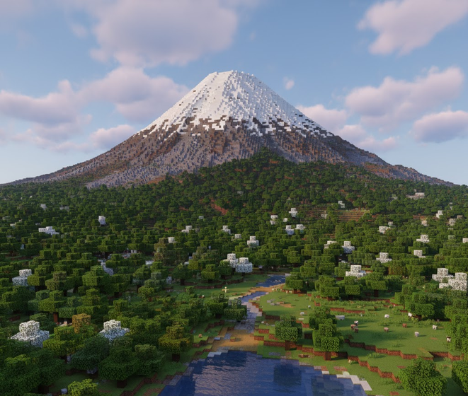
Location of the Week
Mount Fuji, Japan!Every week we feature a new region in higher detail. Right now, we've got Mount Fuji and the surrounding areas fully voxelized at a super high resolution, letting you climb a real-world mountain block by block.
What Our Explorers Say...
Don't just take our word for it. Check out these community impressions about exploring real-world data in Minecraft through Voxel Earth.

Future Expansions
We're rolling out support for more data sources—like Cesium's Moon or Mars tiles—and plan to add community-driven voxel builds. Our ultimate goal? A living, breathing, ever-updating representation of Earth (and beyond) in Minecraft!
Join the conversation on our Discord or follow project updates on research.voxelearth.org. Let's shape the future of Minecraft cartography together.
.DUNmoDw0_uhX7G.jpg)
Connect & Explore
You can jump in-game right now at play.voxelearth.org. Explore any
voxelized location, from famous landmarks to hidden gems.
.DEosrdKt_Z2bm1EO.jpg)